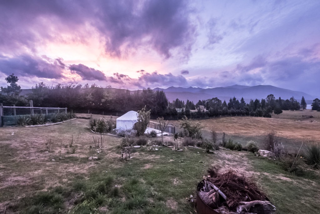
I woke up to the soft morning light coming through the walls of our yurt. It had been less than a day since I finished the Routeburn, but I was well-rested after a night in one of the best Airbnb’s I have ever stayed in. As with our previous Great Walk, we missed the cutoff to pick up our hut tickets for the Kepler Track the night before. We quickly packed up and left the yurt to head into the town of Te Anau.
We arrived at the DOC office before it opened. There were a few other people also waiting when we arrived. Talking to one of them, we learned that it was possibly to skip the first 10 kilometers of the trek by taking a boat across Lake Te Anau. They were planning on skipping the first hut since it was booked full and skipping the first section made their first day distance more reasonable.
After we had our tickets in hand, we decided to head into town for a last minute breakfast before hitting the trail. We stopped at Bailiez Cafe for breakfast. It was the perfect pre-hike breakfast, and it really hit the spot. My plate of sausage and eggs gave me plenty of energy for the day.
We drove to the trailhead, which was only around 10 minutes from central Te Anau. Since the Kepler Track is a loop, the whole walk is extremely accessible. I did not know this until about 10 minutes before I started, but apparently there is a second trailhead about 10 kilometers from the first, making it possible to cut the loop about two hours short. Since I had figured we would be walking the entire 60 kilometers, this did not phase me too much, but it would certainly come back to haunt me.
Day 1
Kepler Track Kilometers 0-5.6
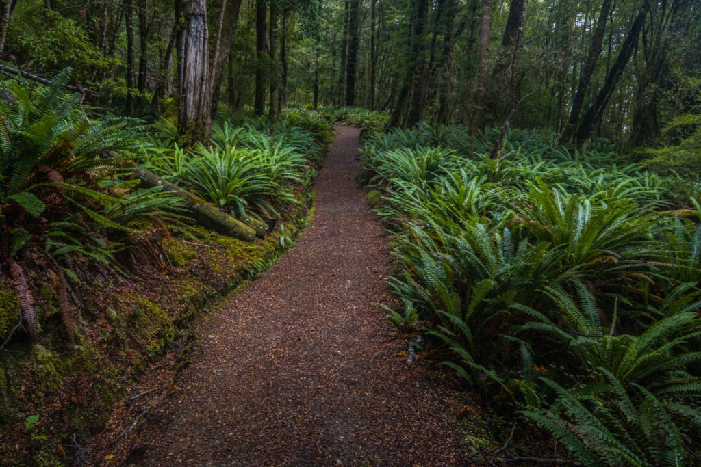
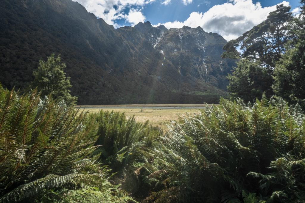
The first ten kilometers follow the shore of Lake Te Anau. It is a fast section of the trail since it is mostly flat. This was the section that the folks we met in the DOC office were skipping. There was nothing super notable about this section, other than the forest was super lush, and we were constantly surrounded by huge ferns.
This section of the trail was also full of day hikers. Especially after our previous few days on the Routeburn, this trail felt way more commercialized. If you are headed to New Zealand for solitude, you will not find it on the Kepler Track.
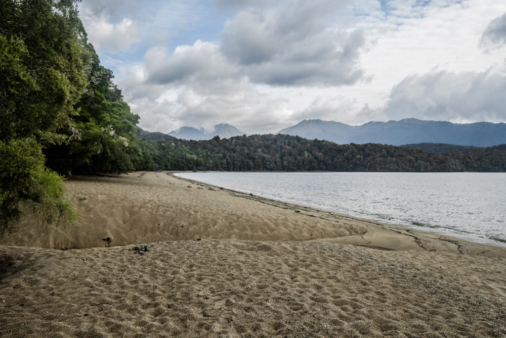
At the 10 Kilometer mark, the trail arrives at the first campsite. This is where the water taxi stops for those who opt to skip out the first section. It is also the last place to find a restroom before the ascent up the mountains begins, and it smells like it too. We stopped here only briefly to use the facilities before beginning the climb.
Kepler Track Kilometers 5.7-13.8
The next section of the trail is absolutely punishing. It is a series of unending switchbacks through the forest, up the mountain. Switchbacks are psychologically tough even in the best of conditions, but on the Kepler track, you are surrounded by dense foliage, with the top always seemingly right above you. This section felt really long. I powered through, however, thanks to my hearty breakfast.
I stopped once, briefly, to take off my mid-layer and then stopped for a bit to let Dennis catch up. Once we were walking together again, we decided to stop for a quick snack. Only five minutes past our resting spot, we reached the top of the treeline and came upon a large field of tussocks.
The final walk to the hut passes over some very fragile alpine meadows, so the DOC has built an elevated walkway. It is good for the ecology and also very aesthetic. After about twenty minutes, we had arrived at the hut. We were among the first to arrive for the day, so we had our pick of the bunks. After picking two good spots in one of the cabins, we went back to the mess room to make some lunch.
Side Trip To Mount Luxmore
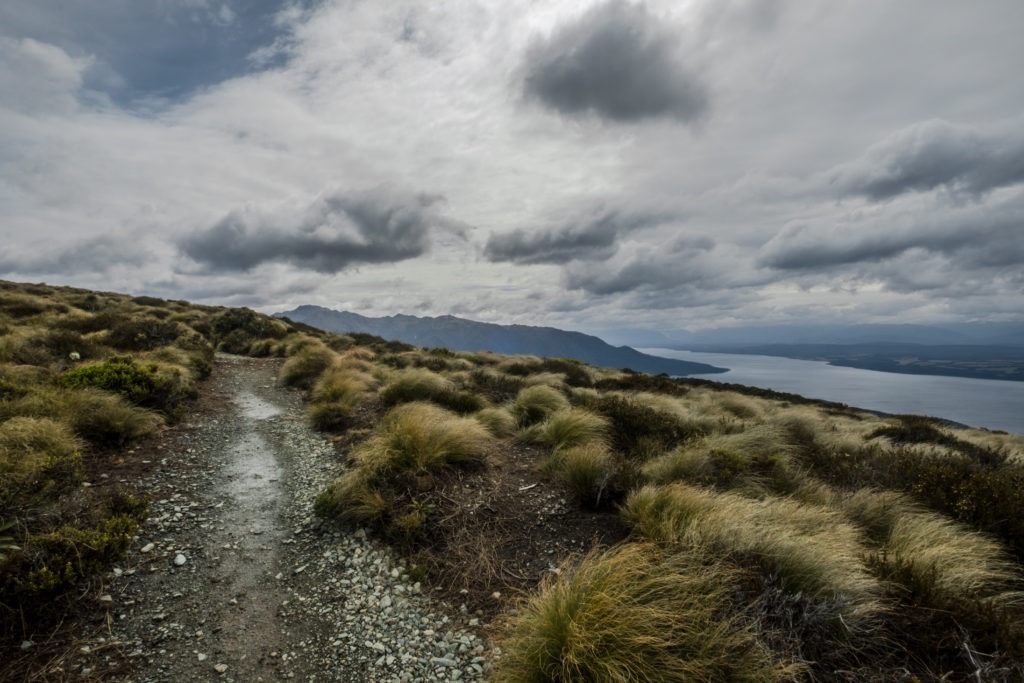
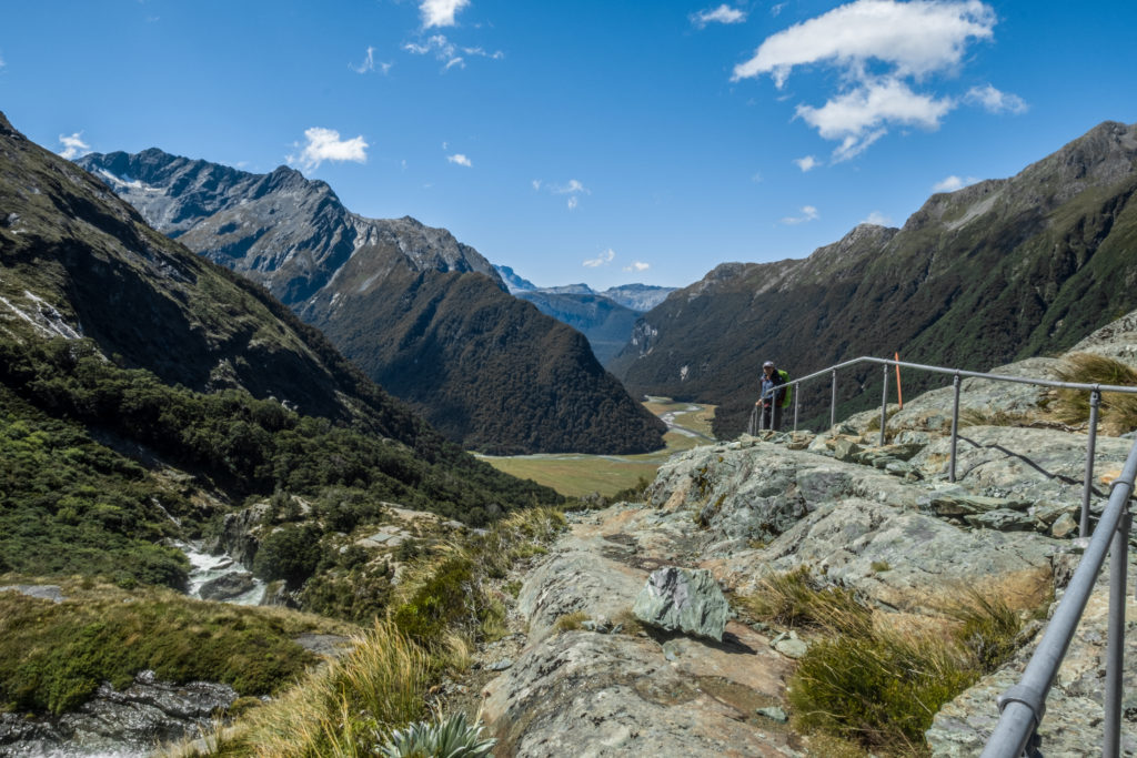
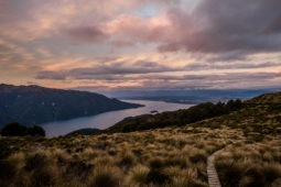
We arrived at the hut sufficiently early, so we decided it would be worthwhile to make a few of the side trips from the hut. The first is the trip to Mount Luxmore. From the Luxmore hut, it is a steady climb up to the top of the mountain. The entire way up, you have a pretty clear view of Lake Te Anau far below.
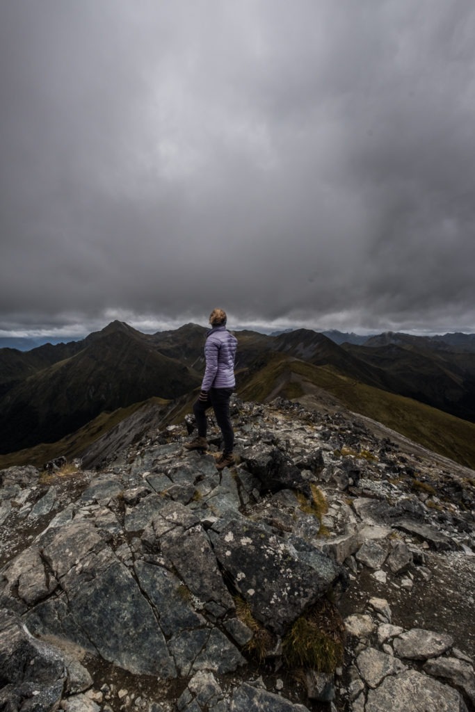
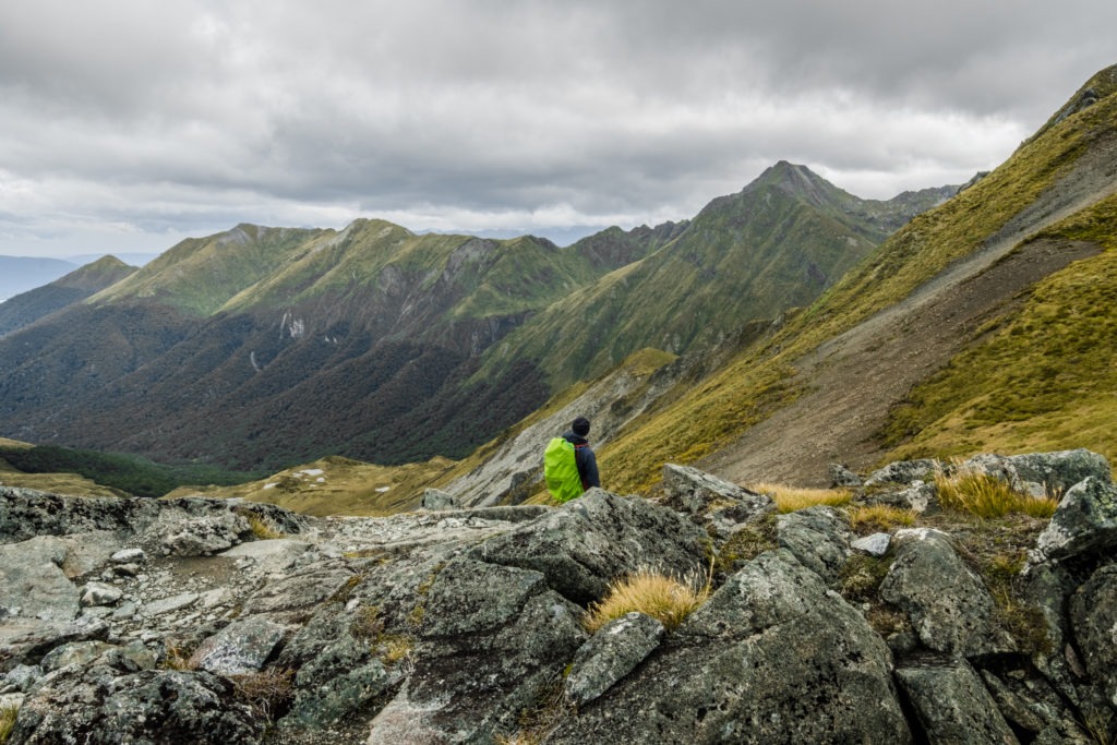
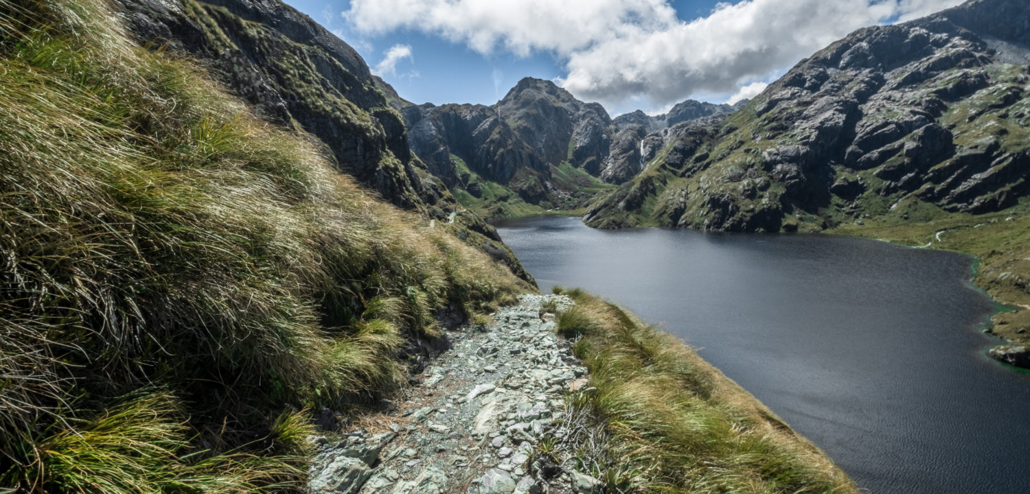
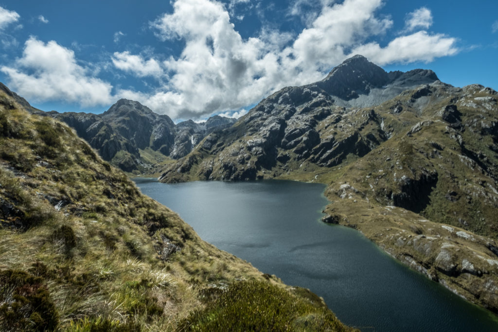
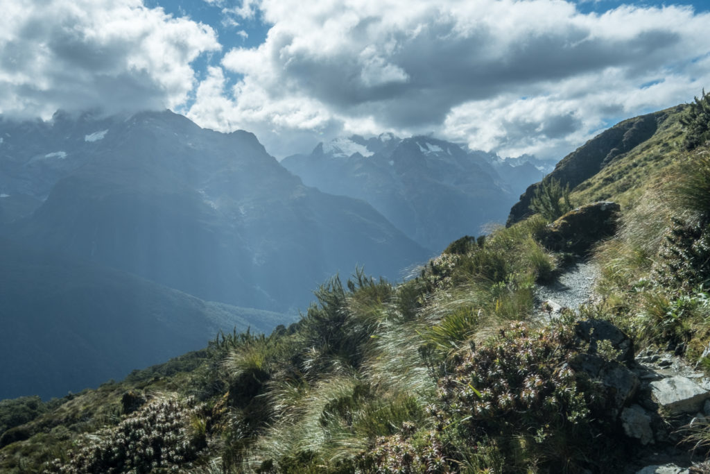
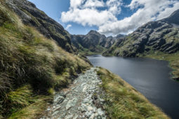
About 30 minutes past the hut, the trail rounds the mountain and suddenly you have views on the rest of the Kepler range. The clouds were low enough in the sky that I could see them resting on the mountains as they stretched out before me, but still high enough to offer impeccable views.
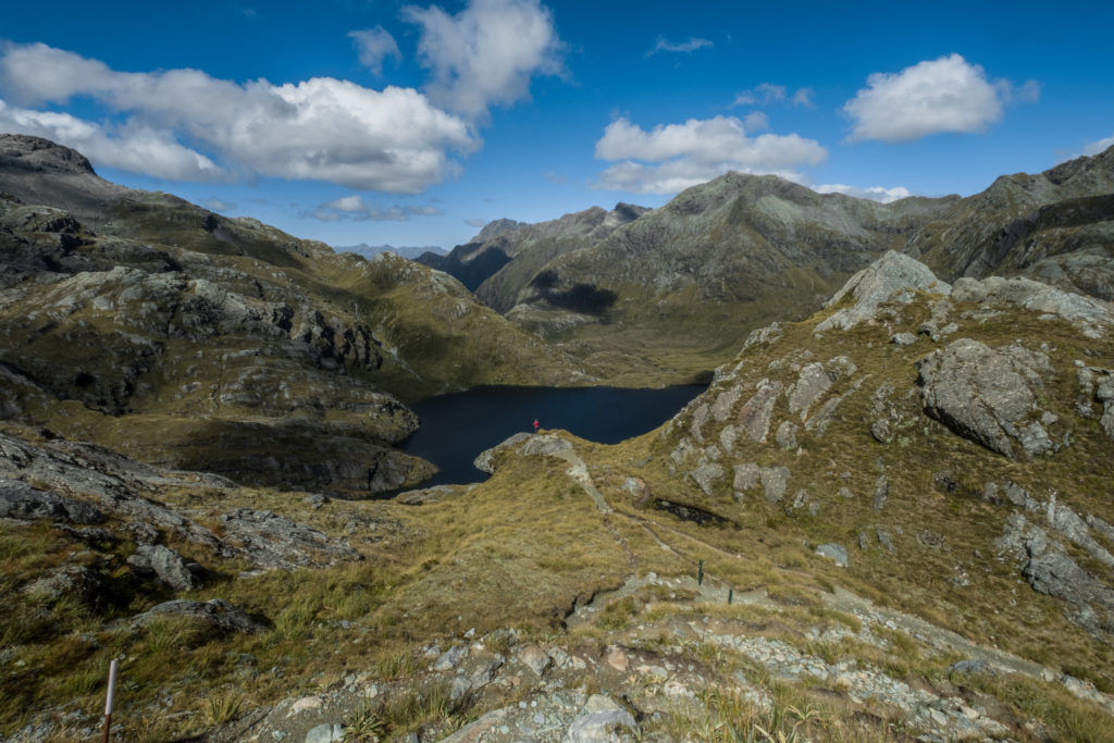
Finally, we reached the top of the mountain. We were the only ones at the top and there was this sense of being on top of the world. We could see the hut below us, the lake below us, and even the town of Te Anau far below us. For the first time all day, it felt peaceful and serene.
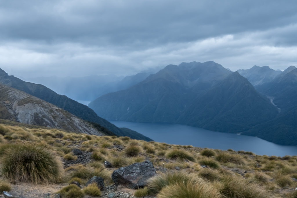
After a few moments, the wind began picking up and the clouds appeared to be encroaching, so we made our way back down.
Upon reaching the hut, we were pleased to find a pair of cheeky Kea sitting atop the structure. We spent a few moments enjoying the sight of these alpine parrots and attempting to take photos of them. All we had were iPhones and a Fujifilm with a super wide angle lens, so none of the photos turned out as well as we hoped.
Side Trip to the Luxmore Caves
The other side trip from the Luxmore hut is the Luxmore Caves. Apparently these caves are created by glacial runoff carving through the sides of the mountains. We grabbed our headlamps and head back out for one last trip of the day.
This side trip was much closer to the hut than Mount Luxmore had been, so it only took about 10 minutes to reach the entry to the cave. At the mouth, there were some instructions about sustainable caving. I had never gone into a cave before, so the information was quite new to me.
Inside the cave, the floor was much more slippery than I had expected. Between that, the slope on the ground, and the instructions not to touch anything, I found the experience more overwhelming than I anticipated. When my headlamp began flickering out, I decided that I had had my fill of the cave and that maybe this activity is not for me.
We made our way back to the hut to begin preparations for dinner.
Evening at Luxmore Hut
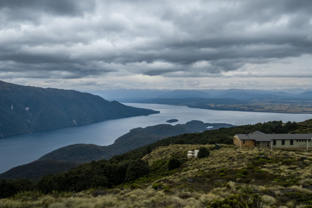
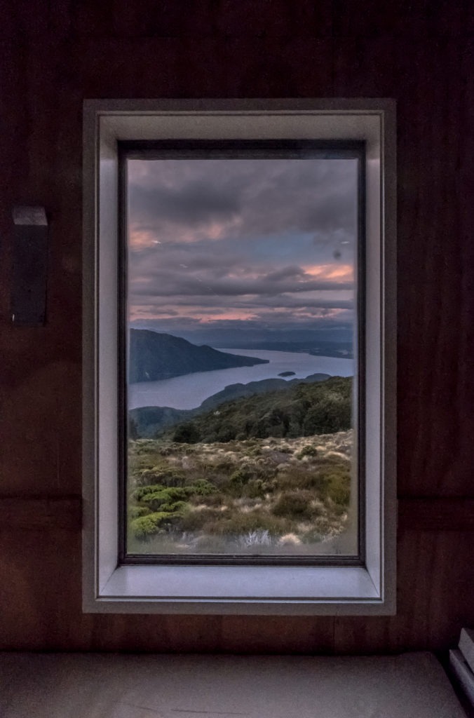
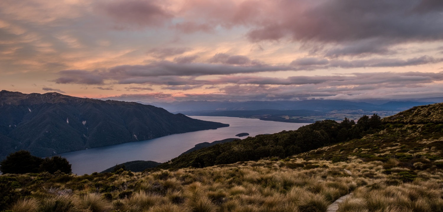
When we arrived to make dinner, we found the mess hall was full of people. It was actually difficult to find a place to eat! But, we enjoyed our rehydrated food nonetheless. One of the more interesting things about the Luxmore hut is that you can see Te Anau very clearly from inside. It is surreal to be surrounded by the Alpine meadows in every direction, and then still see the lights far below. From the hut you could see the pink glow of the sunset touching the clouds as far as the eyes could see.
After dinner, the hut ranger made his evening announcements. The most important announcement was that a cyclone was due to hit the South Island the next day. This would cause the wind to be stronger than usual which could make the alpine crossing potentially dangerous. He finished with advice to get an early start, as the wind wouldn’t pick up until later in the day. With that, we cleaned up our cookset and head to bed.
Day 2
We woke to significantly worse weather than the day before. The fog was so dense, I could barely see 10 feet ahead of me. We hoped that the clouds would lift a bit during our crossing, but we were not holding our breath.
Kepler Track Kilometers 13.9 – 23.3
We head out and up the same path that we had taken the day before to get to Mount Luxmore. In stark contrast to our previous trip, the summit never once came into sight during our trek around the mountain. We took a brief pause at the fork that took trekkers up the mountain and counted ourselves lucky for making the trip up a day earlier.
We pressed onwards. This was the highest point on the entire trek, and the slight drizzle was closer in consistency to sleet. We were essentially walking through a light, wet snow.
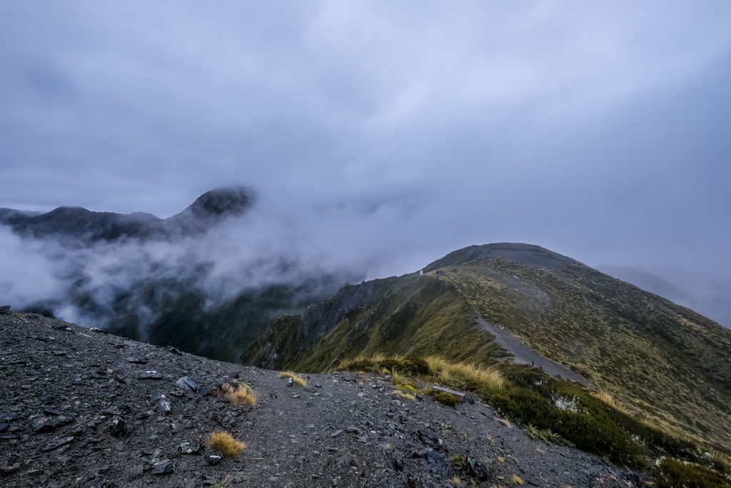
After about 45 minutes of hiking, we came to the first emergency shelter. It was one of those places that you could tell would be absolutely stunning in good weather. Instead, we were just shrouded in a white blanket.
Not too far after this emergency shelter was a second shelter. This one came just before the last ascent of the trip. It was at about this point in time that we started running into people headed the opposite way. There weren’t many, certainly fewer than we had shared our hut with the previous night, but there were some.
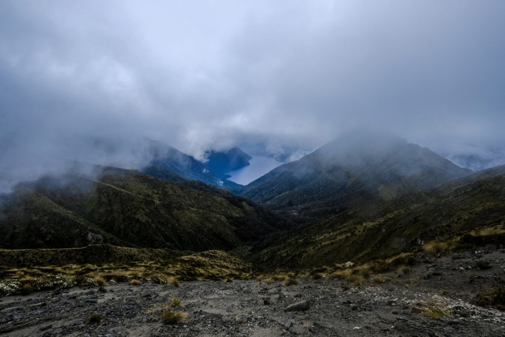
We reached the last high point on the Kepler Track and all of a sudden we were faced with a stairway down into the abyss of clouds. Despite everything, there was something really stunning and dramatic about this staircase that essentially dropped into the fog. Unfortunately, the weather never quite cleared as we had hoped, and at this point we were now headed back below the timberline.
Kepler Track Kilometers 23.4 – 28.4
Once we were back in the tree cover, we began a long conversation about what the next moves should be. We had very unfortunate weather for what was suppoed to be highlight of the track. We were going to get to the next hut earlier than we are used to stopping. Some of the options that we juggled were to continue on to the next hut and hoping there would be a spot for us, or just pushing through and finishing the whole thing.
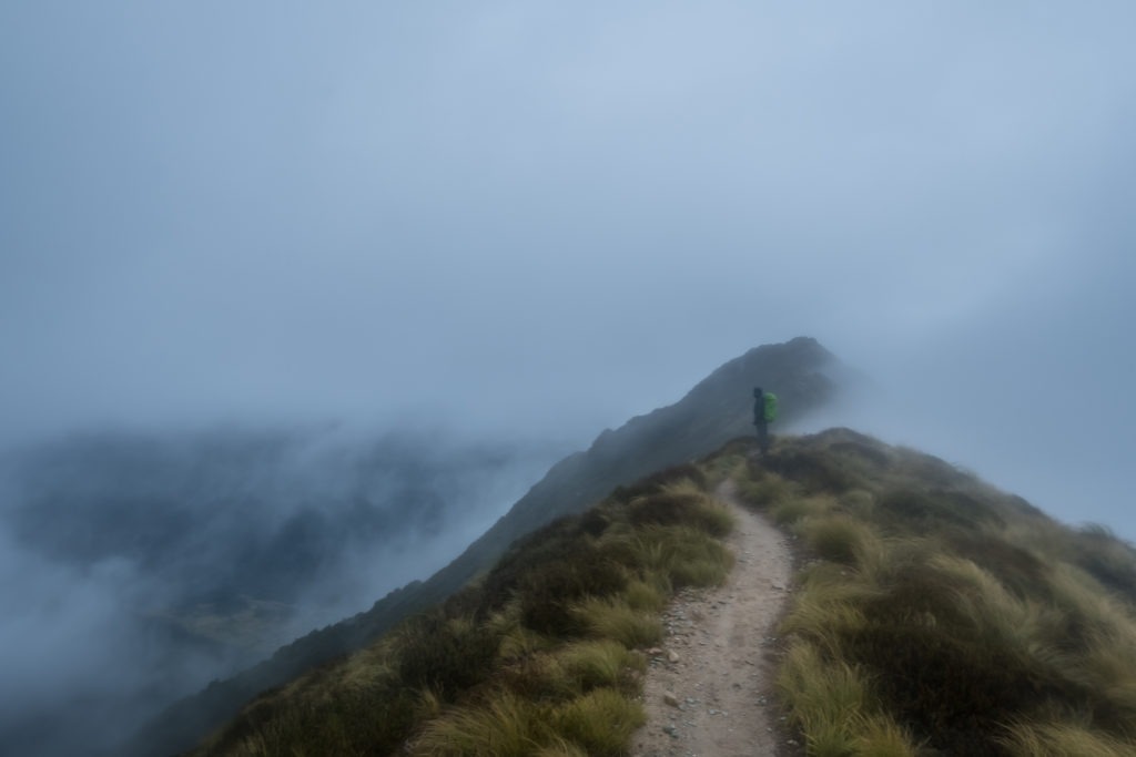
As we discussed our options, we continued down the switchbacks. Every tenth of a kilometer, a numbered sign would count up, simultaneously informing us of how much we had left to go while also filling us with anxiety over how slowly the numbers were iterating.
Eventually, we hit the bottom and found ourselves at the Iris Burn Hut. It was another beautiful hut. We decided that before making any other decisions, we should go inside, eat some food and warm up.
Because of how wet we got while hiking, we decided to cook some hot lunch. It really hit the spot, but also made us sleepy. Before we knew it we had drifted off into slumber, leaving our plans of continuing on behind.
Side trip to Iris Burn Falls
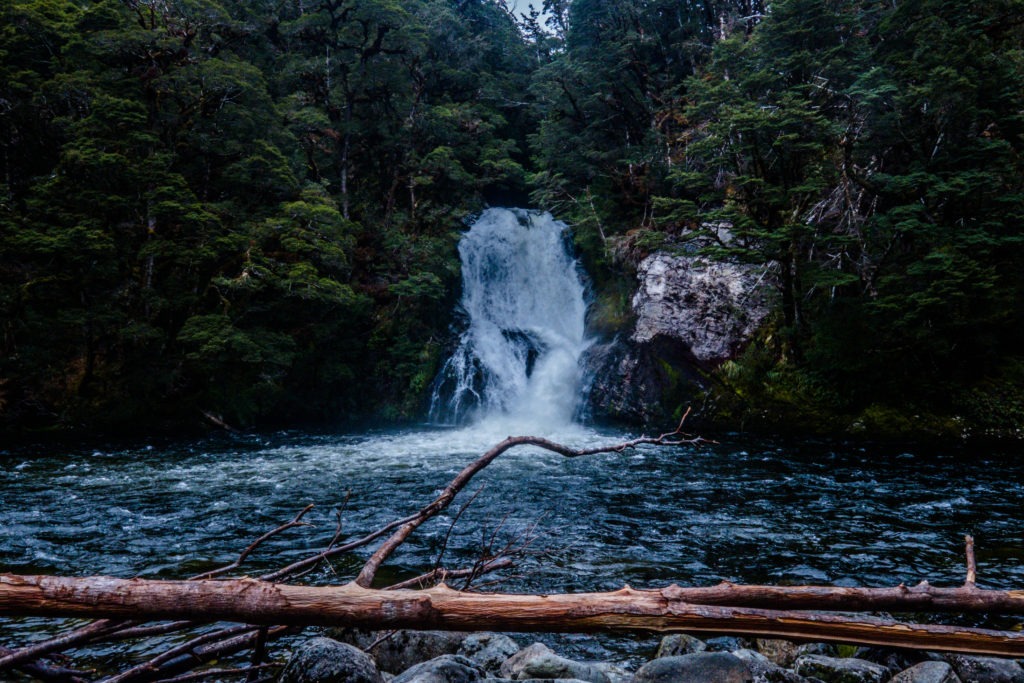
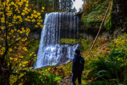
We woke up feeling groggy, so we decided to make the side trip to the Iris Burn Falls to get some blood flowing. It was only a 20 minute walk, but absolutely worth the effort. The falls are quite spectacular, and because of the wet weather we were having, they were quite full.
There are a couple Kiwis who live in this section of the track and we were hoping to catch a sight or sound of one, but we were not so lucky. They are nocturnal animals so it’s quite rare in seeing them in the daytime.
We made our way back to the hut and started making dinner. While we were eating, the hut ranger arrived and gave her informational chat. She was significantly less verbose than previous hut rangers we had met, but she told us that the next day would be more of the same weather, so it wouldn’t be worth making a trip back up to try for the views.
After dinner, despite our earlier nap, we found ourselves ready to hit the hay. We hit the bunks and were out quickly.
Day 3
We weren’t in any rush, so we got a late start. After lazily rolling out of bed, we took our time enjoying our oatmeal before we hit the trail. We had decided earlier that we didn’t want to walk the last 10 kilometers between the two parking lots, so we had booked spots on the shuttle. Our only goal for the day was to get back to the first parking lot in time to catch our bus. It rained a lot overnight and we were not looking forward to walking through the wet and muddy trail.
Kepler Track Kilometers 28.5 – 37.4
Leaving the Iris Burn Hut, we immediately began ascending. It was not like the first day though, only a couple of switchbacks. The rain was not super heavy but it still dampened our moods. After several minutes, we were descending again. The first part of the day was through rainforest, as the first day had been. We got to enjoy walking amongst the fern again.
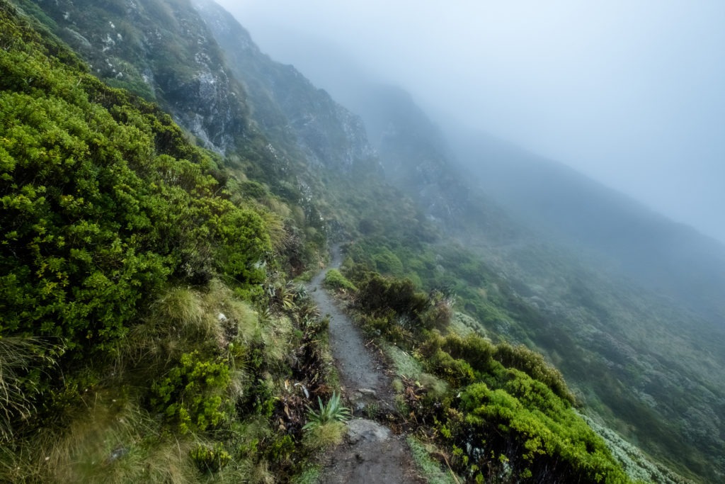
After just shy of an hour, we reached “the Big Slip”. A couple decades earlier, during heavy rain, a giant landslide occured down the side of the mountain. This left a huge mark on the earth at least the size of a football field. Even 20 years later, no trees have grown in this section of the trail, so it just appears as a meadow in the middle of the forest on the side of a mountain.
Walking through this section of the trail was very peaceful. It was a misty morning, and the meadow felt very calm. The silence was a bit eerie. Walking through the Big Slip, it was easy to let your mind wander to the “what ifs”; especially since it had been very rainy the previous few days.
Kepler Track Kilometers 37.5 – 44.6
We left the Big Slip and re-entered the rainforest. As beautiful as the rainforest was, it grew tiresome quickly, and the kilometers blur together in my memory. At the hut the previous night, I had read about the efforts to trap Stoats and other predators. Apparently the effort to lay traps every fifth of a kilometer had been very successful in preserving the native birds.
This trapping effort had one negative consequence, however. The traps were all numbered, so I began counting down until we reached the end. Even though they provides a means to measure our distance traveled, counting down the kilometers until the end of hike really made the whole section a drag.
We got to one of the numbered traps, and I realized that we should be getting close to the next hut on the trail. It had to be just around the corner. The next trap came and we still had not arrived. Before I knew it, a whole kilometer had passed and we were still walking. We reached the lakeshore, so I knew the hut had to be close. Yet, the trail continued weaving through the forest.
Finally, after what seemed like ages, the hut appeared almost out of nowhere. We had plenty of time to catch our bus, so we decided we would stop in this hut for lunch.
At the Moturau hut
When we got inside the hut, there was a fire blazing. It felt good. The weather had continued to be quite wet this day, so it was nice to warm up in the hut with some sandwiches. Luckily the rain completely died out by the time we got to the last hut.
There were a few other people in the hut when we got there. A couple of these people were familiar; some had been on the trail with us from day one, others we recognized at least from the night before, and a few faces were new.
Despite my best efforts not to eavesdrop, I couldn’t help but overhear two ladies a few tables over telling another hiker that they had left their car at the closest parking lot and were planning to hitchhike from the parking lot we started at back to their car. They were doing the Kepler Track in the opposite direction as us and this piqued my interest.
After building up a little bit of courage, I approached one of the ladies and made a proposal that could be mutually beneficial. If they would be willing to give me their car keys, I could go to the parking lot, pick up their car, drive it to the other parking lot and leave it there for them to find when they finished. This would give me an option to finish the track at my leisure, and their car would be waiting for them when they finished on a later day. We originally booked a car shuttle at 4PM to take us back to our parking lot but we were quite ahead of schedule so we decided that this would allow us to get back to Queenstown much earlier.
After some back and forth, we all came to an agreement. They handed me their car keys, we agreed on what the appropriate protocol for dropping the car would be, and then we went our separate ways.
Kepler Track Kilometers 44.7 – 50.6
The last few kilometers sped by. I was newly reinvigorated from the prospect of driving their car to bypass the last ten kilometers instead of waiting for the shuttle or walking all the way back. This part of the trail was also much more crowded since we were back in the realm of day-hikers.
Eventually, we passed a nice suspension bridge and arrived at the parking lot. A girl who had been in the hut with us the previous night was keeping about the same pace as us. She asked if we could give her a ride. We told her that we had never seen the car before. If there was room, she was more than welcome to join.
Finding the car was easy, it was a very particular shade of blue. Once we saw what we were dealing with, we told the girl she was welcome to join us. On the road, it was immediately clear that the car was in bad shape but at least in working order. Luckily it was only about a 15 minute drive to get back to our starting trailhead.
We arrived at our car, said our goodbyes and shoved the keys into the gas tank. Due to the weather, the Kepler Track had been a little bit of a disappointment for me, but it ended on a high note.
From my experiences with this hike, the Kepler Track is definitely doable in two days. My recommendation for those strapped for time would be to skip the first hut and continue all the way to the Iris Burn hut. It will be a long day but you will be rewarded with great views, provided that the weather is on your side! If you are not in a hurry the first hut has a magnificent location. It was definitely the nicest hut we stayed at in our time in New Zealand.




Recent Comments